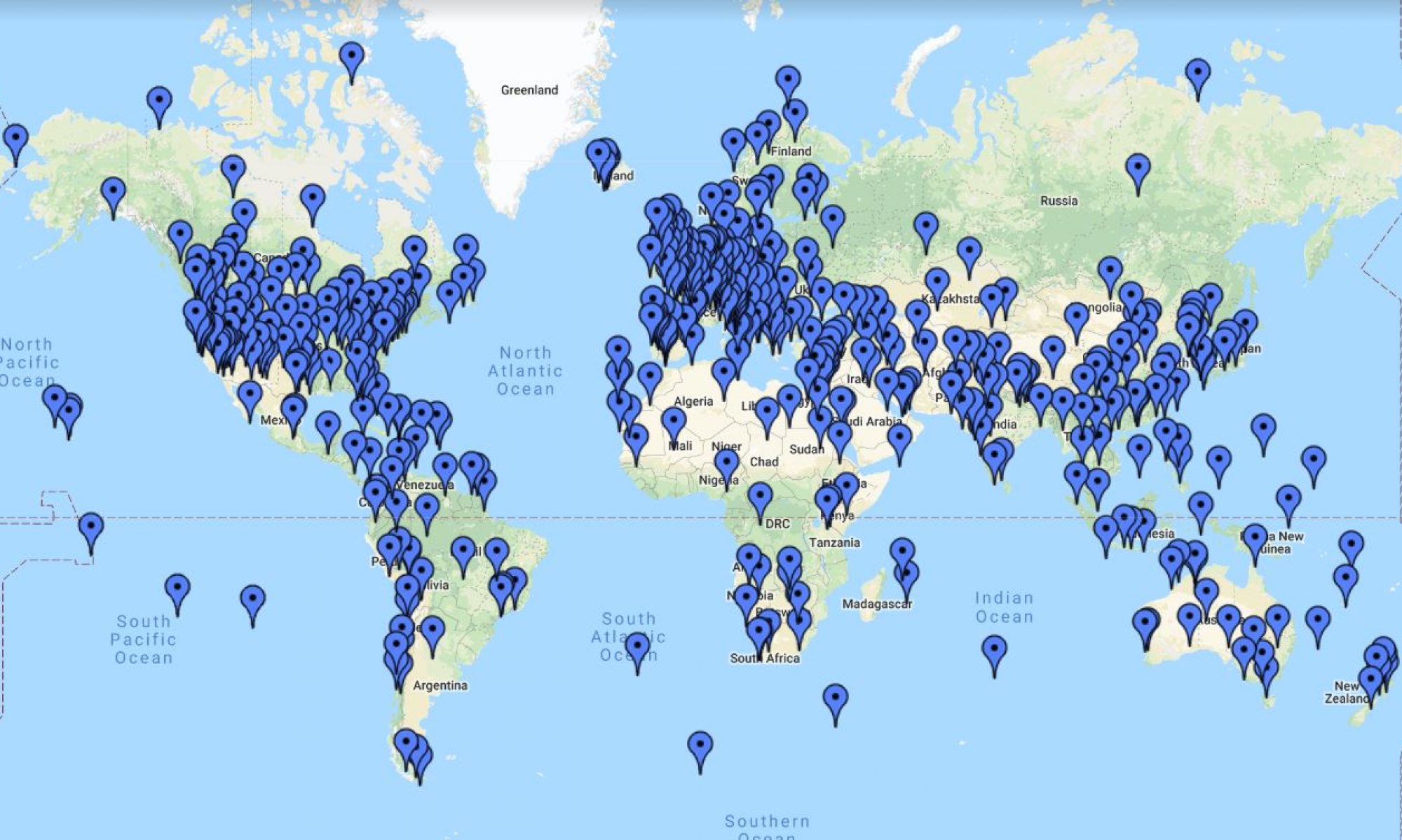
If this one looks a bit different than previous contests, it is because my Google Earth is not opening — I had to use the web google earth and screenshot the image.
If I can figure out the problem with the desktop GE Pro, I’ll add the picture from that as well.
Here’s the Google Earth Pro version:


Kariba Dam, Kariba Gorge, Zambia.
Kariba dam, Zambia-Zimbabwe border
Kariba dam, Zambia.
Coordinates -16.522107°, 28.761669°.
Kariba Dam, Zimbabwe – Zambia
Kariba Dam, Zambia/Zimbabwe border
16°31’20.5″S 28°45’39.8″E
-16.522359, 28.761061
16°31’15.99″ S 28°45’46.49″ E
The Kariba Dam is a double curvature concrete arch dam in the Kariba Gorge of the Zambezi river basin between Zambia and Zimbabwe
The Kariba Dam is a double curvature concrete arch dam in the Kariba Gorge of the Zambezi river basin between Zambia and Zimbabwe.
16°31′20″S
28°45′42″E
Kariba Dam, Zambia/Zimbabwe
16°31′20″S 28°45′42″E
16°31’20.38″S
28°45’41.81″E
Kariba dam, Zimbabwe.
Kariba Dam
Hey,
its Kariba Dam, border of Sambia and Zimbabwe 🙂
Kariba Dam
16°31′20″S 28°45′42″E
Kariba dam – https://www.google.com/maps/search/Kariba/@-16.523117,28.7607247,2198m/data=!3m1!1e3