Contest #424 Verdenskortet, near Hobro, Denmark
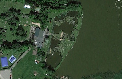
A world in a lake in the world – Verdenskortet is Danish for “world map”. This incredible piece of work is found in Lake Klejtrup, southwest of Hobro, Denmark. Built between 1944 and 1969, the map was the handy work of Søren Paulson, a farmer living on family land with an adjacent lake. It’s about 300 feet by 150 feet in size, and 10 inches on the map corresponds to a scale of about 69 miles. (Popular Mechanics: http://www.popularmechanics.com/home/outdoor-projects/a18317/verdenskortet-denmark-world-map/)


Used the image to find the location of the image:
- Cloudspotter
- steve willis
- Eloy Cano
- Jason Hatterman
- donaaronio
- Maureen
- LawnBoy
- Marisa Boraas
- Garfield
- bibiweb
- Lelie
- Lighthouse
- Chris Nason
- Paul Voestermans
- Junebug
- rob de wolff
- Phil Ower
- Robin
- Mehmet DURMUS
- Max_Power
- Luis Filipe Miguel
Needed a bit of orientation assistance:
- steven simmons
- John F
Contest #424 Hint
The location is right in front of you in the image – it might help if you turn the image 90 degrees anti-clockwise.
Contest #424
Contest #423: Chateau Chenonceau, France
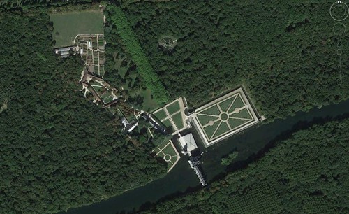
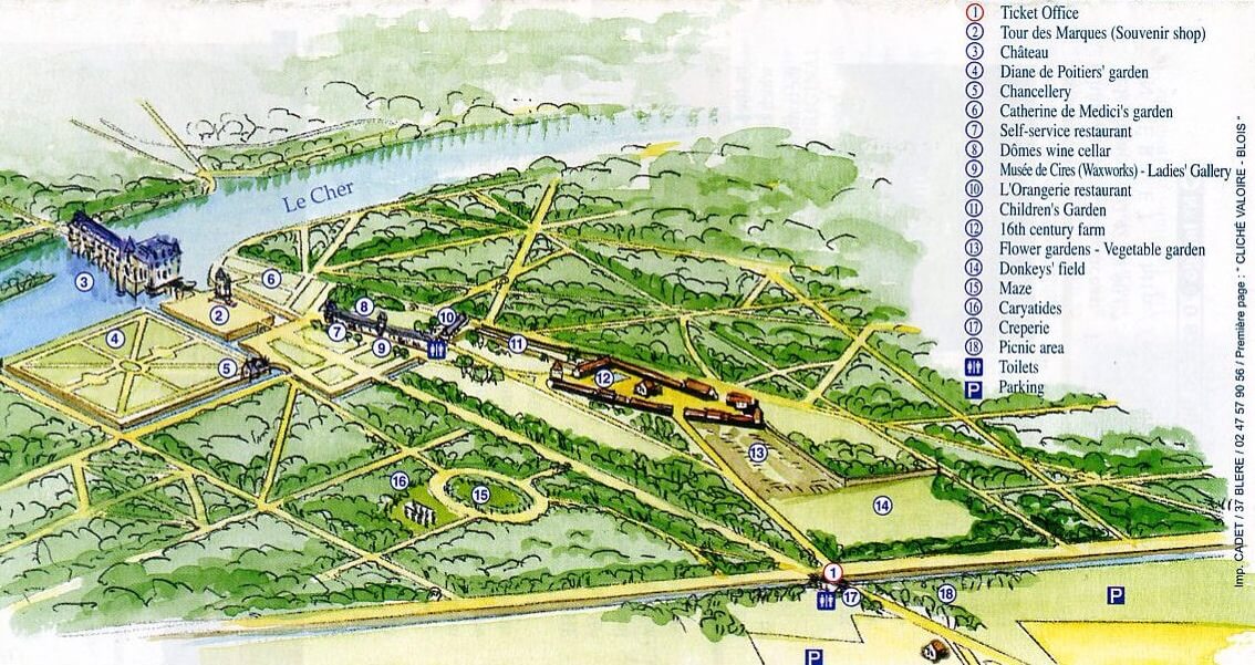
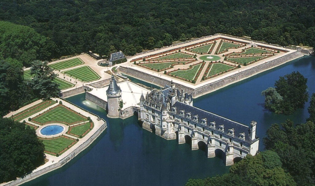
After a castle in the United Kingdom, this week was another castle in France. Hidden in the Loire Valley in central France is a magnificent complex of gardens, a farm and a castle located over the Cher River.
There were many clues in this weeks contest, including the little circular maze built from plans by Catherine de Médicis, hidden in the trees away from the river.
Found without additional clues:
- Eloy Cano
- Robin
- Cloudspotter
- RicardPG
- rob de wolff
- LawnBoy
- donaaronio
- Maureen
- Paul Voestermans
- steve willis
- Andy
- Jason Hattermann
- Garfield
- Phil Ower
- Lelie
- Jeff
- Lighthouse
- Marisa Boraas
- Junebug
- Max_Power
- Mehmet DURMUS
- Chris Nason
- Luís Filipe Miguel
- hhgygy
Found with the hint:
- Mik
- Jesus Rodriguez
- Katelin
- Dackelz.HP
Contest #423 Hint
Catherine de Medici assembled a plan that was used here.
Contest #423
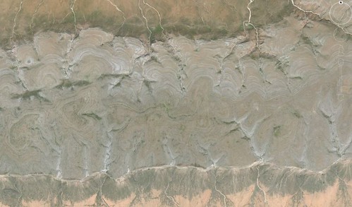
Contest #421: along the south coast of the Island of Socotra, Yemen
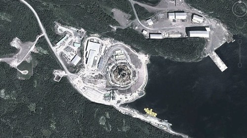
The island of Socotra off the coasts of Yemen and Somalia was impacted recently by Cyclones Chapala and Megh. This part of the world does not see cyclones very often, and after searching about the island, it seemed like a neat place to visit for this contest. The actual location was just a neat looking place with interesting topography.
Wikipedia states that “… about a third of the plant life is found nowhere else on the planet” and “has been described as the most alien-looking place on Earth”.
The hint about the Dragon’s Blood Tree was designed to help lead you to this island, and then it was a matter of hunting down the actual location of the image, along the south coast.


Caught on the winds and landing on the island without additional assistance:
- steve willis
- Garfield
- Lighthouse
- Phil Ower
While others used the Dragon hint:
- Jason Hatterman
- Ben S
- Paul Voestermans
- John F
- ashwini agrawal
- Chris Nason
- ArnoudS
- Lelie
- Eloy Cano
- Cloudspotter
- RicardPG
- Maureen
- Jeff
- Jesus Rodriguez
- Marisa Boraas
- donaaronio
- Mehmet DURMUS
- Max_Power
- steven simmons
- Gillian B
- Robin
Contest #421 Hint
if you want a dragon’s blood tree, you have to come here.
