12° 3’25.98″ N 68°16’45.71″ W
SW part of Bonaire Island, I wonder what this underwater structure can be.
Bonaire Salinas, Pink Beach, Salt Lake, Slave Huts
12°03’33.06″ N 68°16’41.18″ W
Bonaire, slave huts.
These huts were constructed in 1850 during the slavery time, and served as sleeping accommodation for slaves working in the salt ponds.
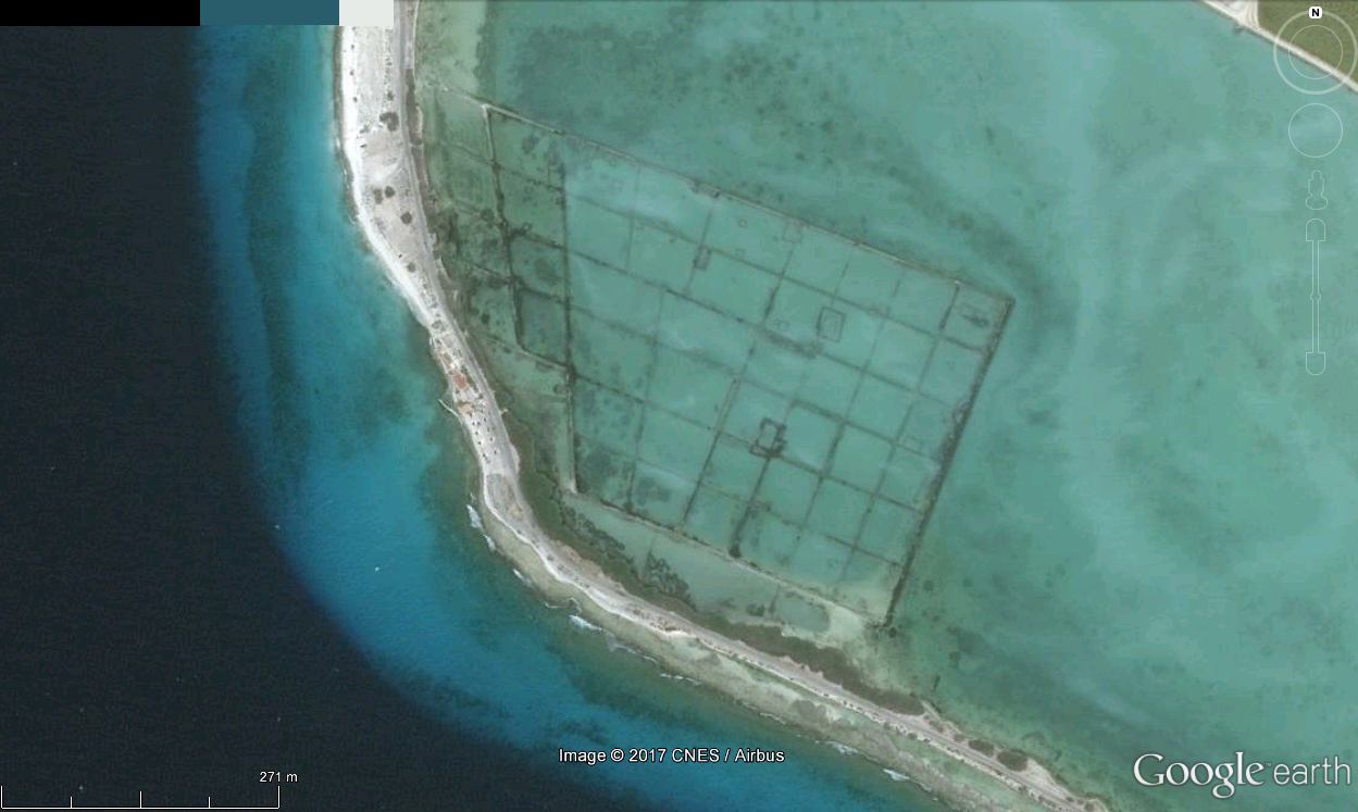
12°3’28.01″N 68°16’50.51″W
The slave huts and salt evaporation ponds at Bonaire in the Dutch Caribbean. The huts were constructed in 1850 during the slavery time, and served as camping facilities for slaves working in the salt ponds to collect and ship salt, one of Bonaire’s most important export products.
Salt ponds and slave huts, Bonaire, Caribbean Netherlands
Red Slave Houses , Bonaire
12° 1’43.02″N 68°14’56.93″W
Southern Bonaire Island, Slave Huts and Salt Ponds.

12° 3’25.98″ N 68°16’45.71″ W
SW part of Bonaire Island, I wonder what this underwater structure can be.
Bonaire Salinas, Pink Beach, Salt Lake, Slave Huts
12°03’33.06″ N 68°16’41.18″ W
Bonaire, slave huts.
These huts were constructed in 1850 during the slavery time, and served as sleeping accommodation for slaves working in the salt ponds.
12°3’28.01″N 68°16’50.51″W
Bonaire, Kralendijk, Caribbean (Netherlands)
12°03’30″N 68°16’43″W
The slave huts and salt evaporation ponds at Bonaire in the Dutch Caribbean. The huts were constructed in 1850 during the slavery time, and served as camping facilities for slaves working in the salt ponds to collect and ship salt, one of Bonaire’s most important export products.
Salt ponds and slave huts, Bonaire, Caribbean Netherlands
Red Slave Houses , Bonaire
12° 1’43.02″N 68°14’56.93″W
Southern Bonaire Island, Slave Huts and Salt Ponds.